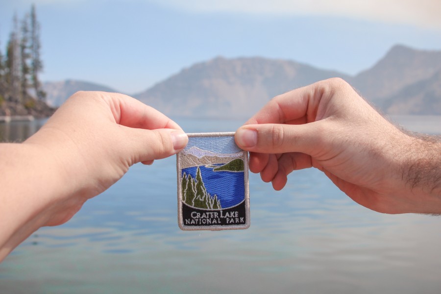
Crater Lake National Park
Oregon, August 2017
“A violent eruption triggered the collapse of a tall peak . . . it’s the deepest lake in the USA and perhaps the most pristine on earth.” – NPS

Trip Highlights: Cleatwood Cove & Wizard Island * Crater Lake Rim * Pinnacles Trail
After a day of roughly 530 miles and 10 hours on the road, we rolled through the north entrance to Crater Lake National Park. We snapped a pic of the park sign in the dark just in case we wouldn’t have another chance and wound our way down the dirt roads under construction to Mazama Campground. We made it through our first and biggest day of driving for the trip without mishap, arriving at 9:30 pm! We had a site reserved but were not assigned a particular one so we choose as best as we could in the dark, pitched our tent by the van headlights, and went straight to sleep.

Cleatwood Cove & Wizard Island
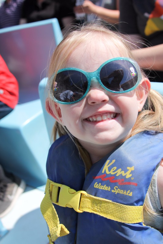
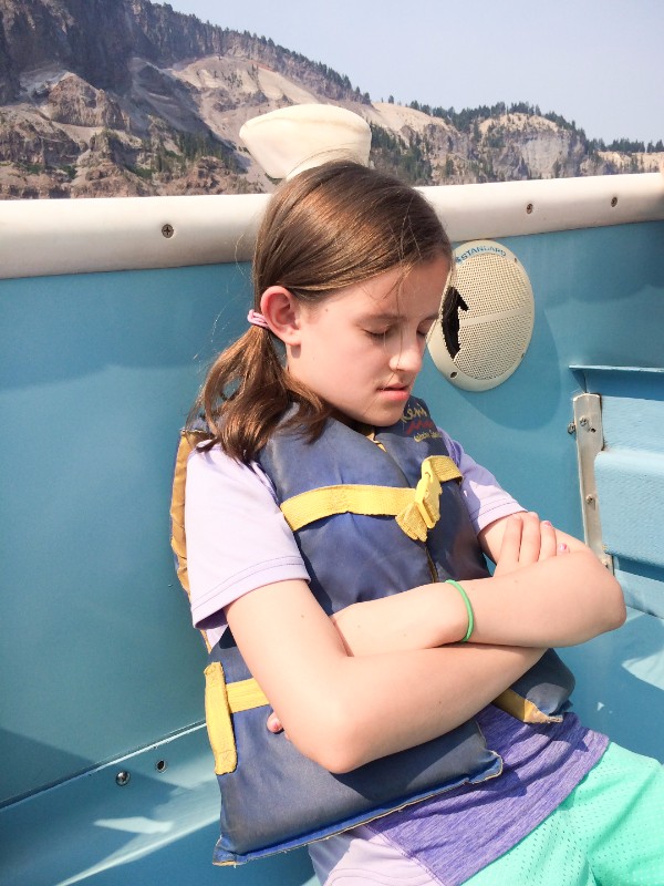
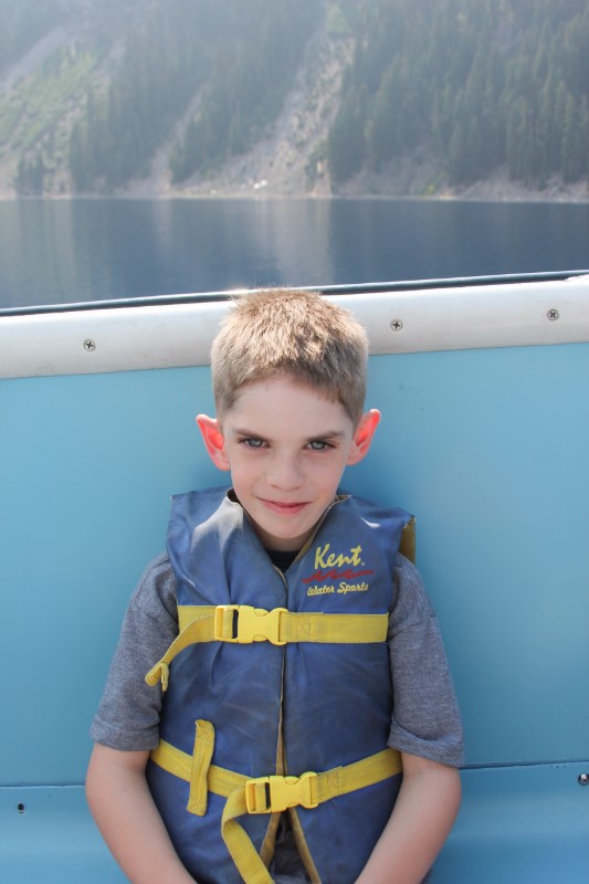
Our big plans for seeing Crater Lake? Take the shuttle boat to Wizard Island! We had reservations for the 11:30 boat but we wanted to leave ourselves plenty of time for the drive and hike to Cleetwood Cove so we managed to leave camp around 9:15.

We made a relatively quick stop at the Steel Visitor Center to get our park pass (since we arrived too late the night before to get one!) and just barely caught the informational video about Crater Lake. The part about its formation as a result of the eruption of Mount Mazama was particularly interesting and perfect for the kids to learn a little – they’re not at the age for reading displays! Eh, to be honest, I’m not really into that either . . .

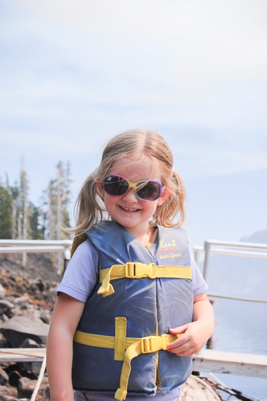
After a couple stops, we made it to the Cleetwood Cove trailhead at 10 am and claimed our tickets. It took us about a half hour before we were ready to hit the trail and given they recommend an hour for the hike, it felt like we were cutting it close. To add to the pressure, we hadn’t got too far (luckily) before we realized we had left an essential piece of equipment behind – our phone! Gotta get those panorama shots! I made a quick return trip to the car, was nearly fruitless in my search for the missing phone, and caught up with the family a short ways down the trail.

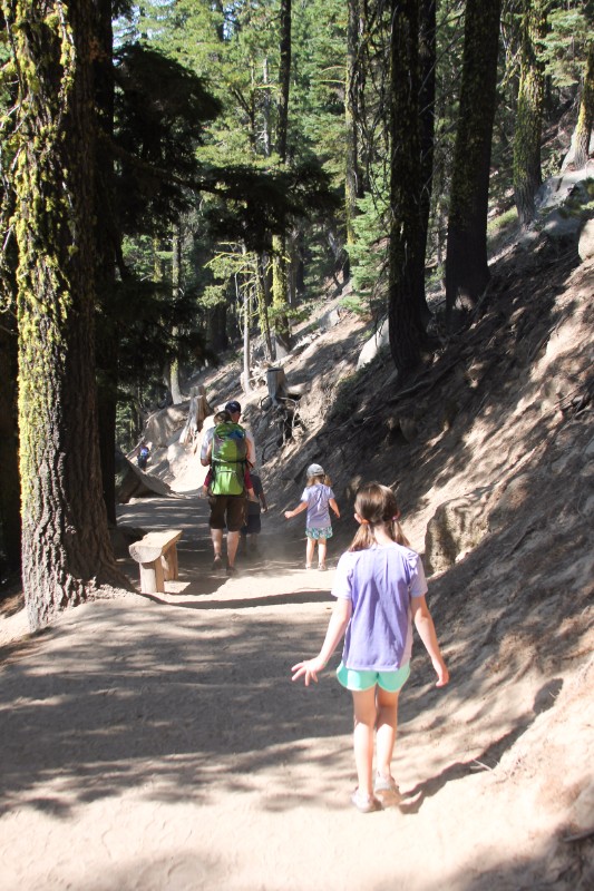
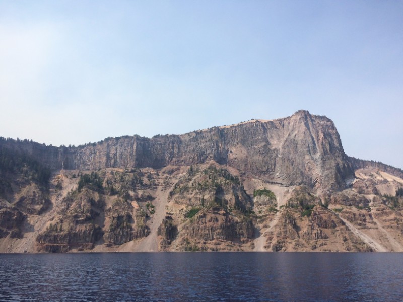
It is a steep hike from up on the rim down to the water’s edge, about a 700 ft drop in elevation in 1.1 miles. I was backpacking Annie (who recently turned 3 years old), Katie was breaking in a new Marmot backpack with the gear for the outing, and the other three kids were on their own. It’s a wide and well maintained trail, though, and we knocked it out in 40 minutes.

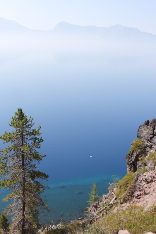

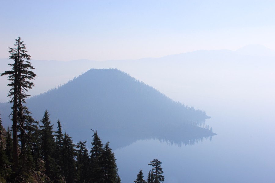
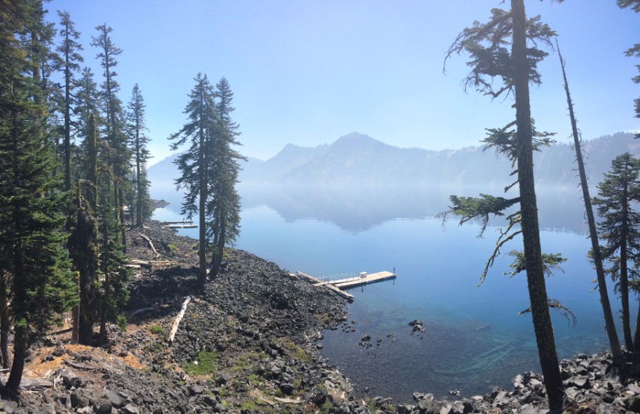
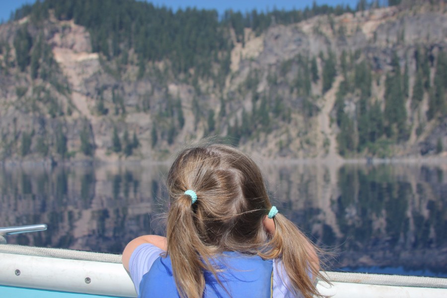
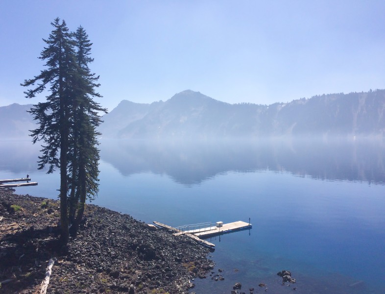
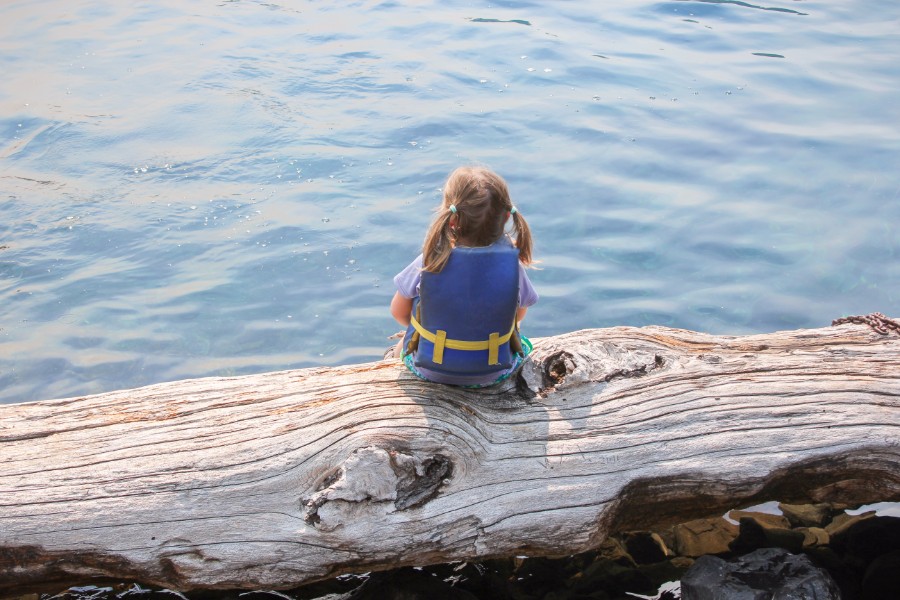
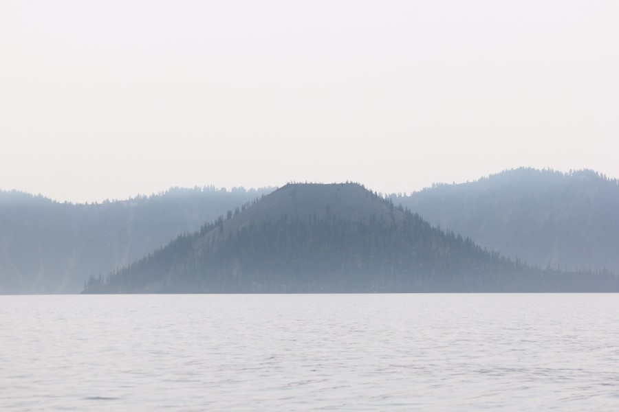
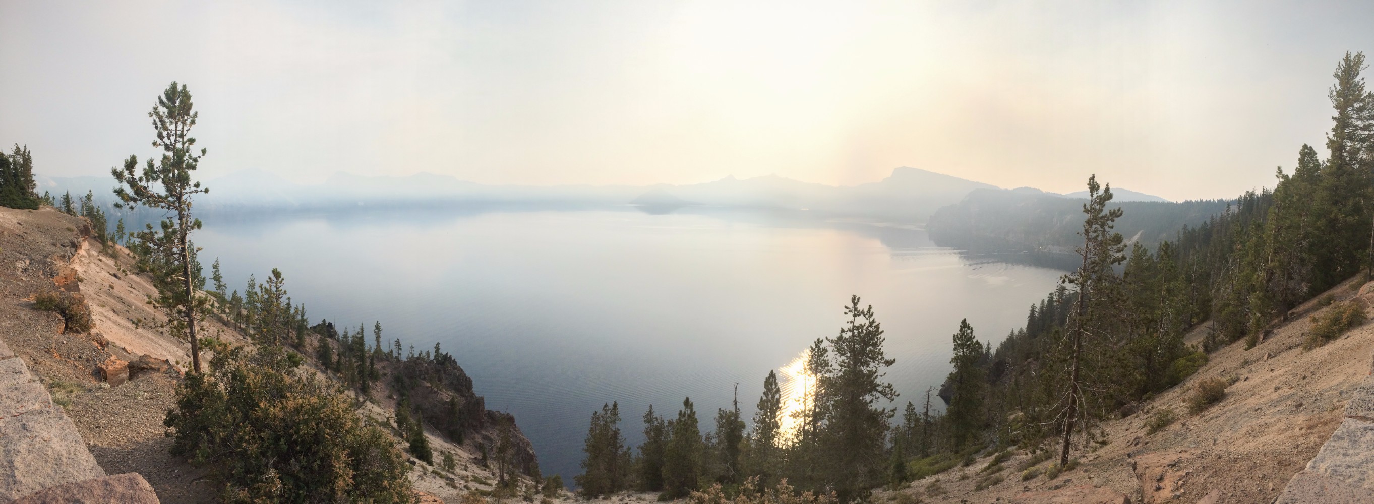
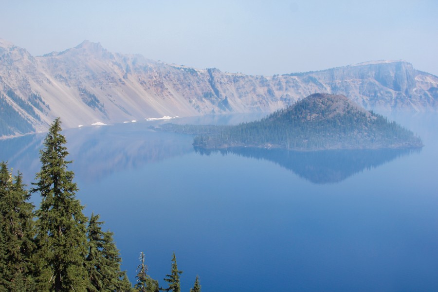
The views are spectacular and the clarity of the water is particularly striking! In fact, Crater Lake is one of the clearest and cleanest in the world. The hike down is worth seeing the lake up close even if you don’t take a boat tour. Beautiful!


There was some smoke/haze from the wildfires but that added an ethereal quality to the lake and didn’t really diminish the views. We spoke with people who were here the days right before and after us and apparently the fires and smoke were so bad, the views were virtually nonexistent, roads were closed, and the campground even had a “voluntary evacuation”. Thank the Lord for the weather window we hit! However, we have a hunch that the smoke was the reason the lake didn’t appear as blue from the rim as we remember from our last visit.
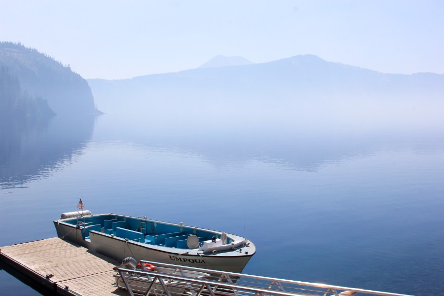


We had chosen the no-nonsense shuttle boat, as opposed to the meandering tour boat, and it zipped us out to Wizard Island in about 30 minutes. It felt good to have the wind in your hair, um, face after a hot day hike. The open boat didn’t offer any respite from the sun though.

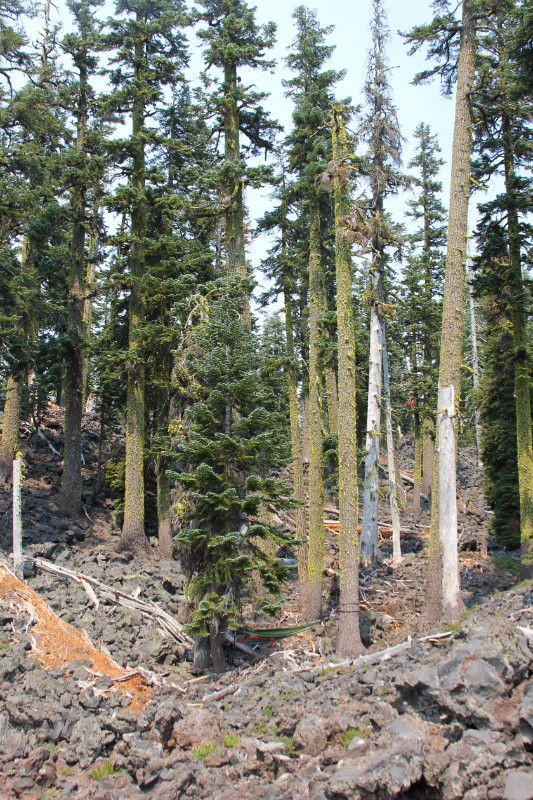
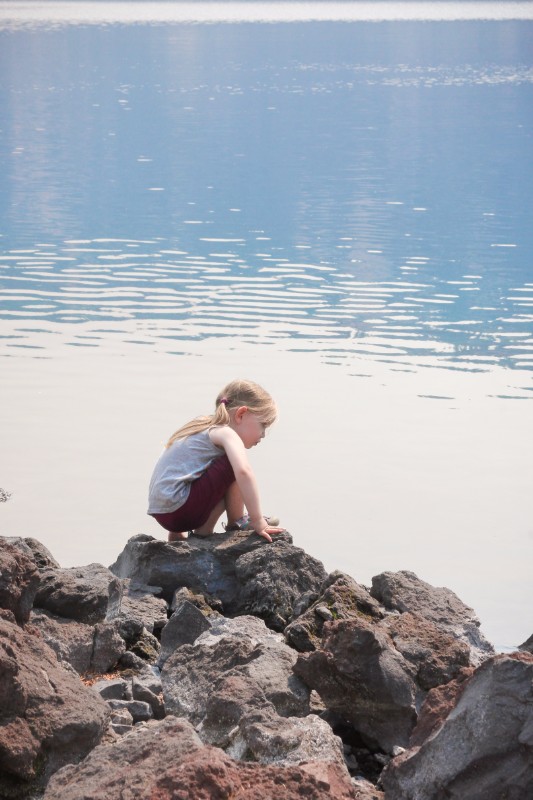
There is a trail to the top of the caldera but with kids in tow, we had always planned to spend our three hours hanging out near the lake. (Need them rested for the hike up from Cleetwood Cove.) This would have quickly become our plan if it wasn’t already because the entire island is composed of large, chunky, sharp, jagged rocks which were VERY hard to walk on and get around, even for Katie and me! All volcanic rock – surprise! It seems obvious in hindsight but having seen the trees from a distance we were foolishly picturing your typical northwest dirt and rocks shoreline.


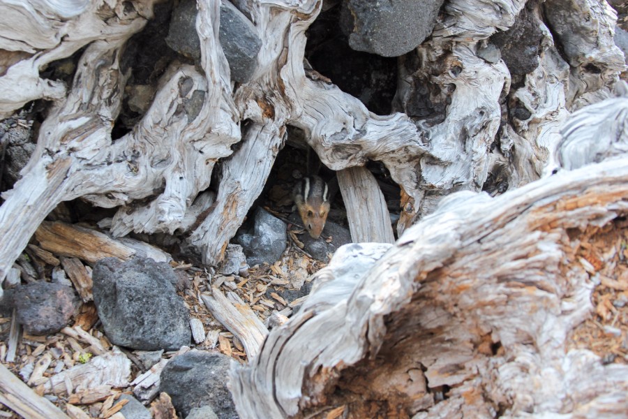
I scoped out down the trail a bit for the most welcoming piece of real estate but we elected to stay close to the dock and the nearby structures where the bathroom was. The majority of the others that were dropped off with us headed up the trail out of sight so we were essentially by ourselves . . . except for the locals. Upon getting our lunch out, we were joined by several super aggressive chipmunks. They had no fear going for our food!


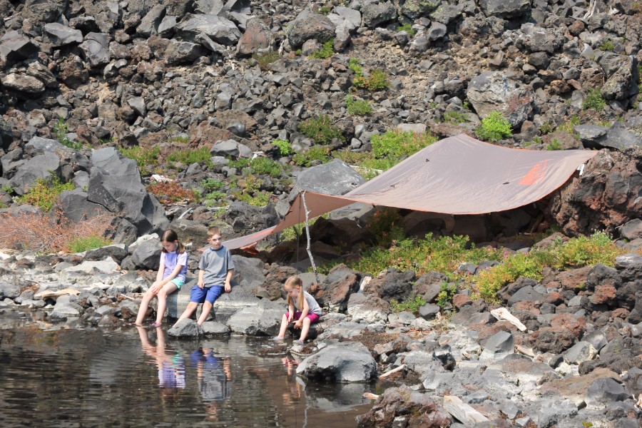
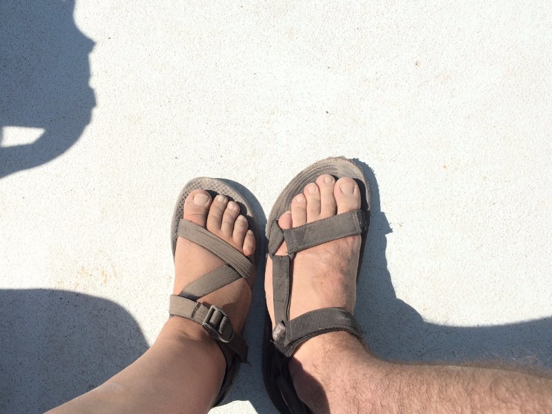
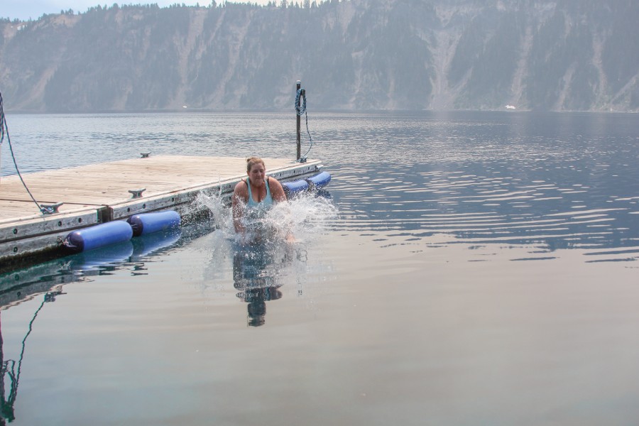
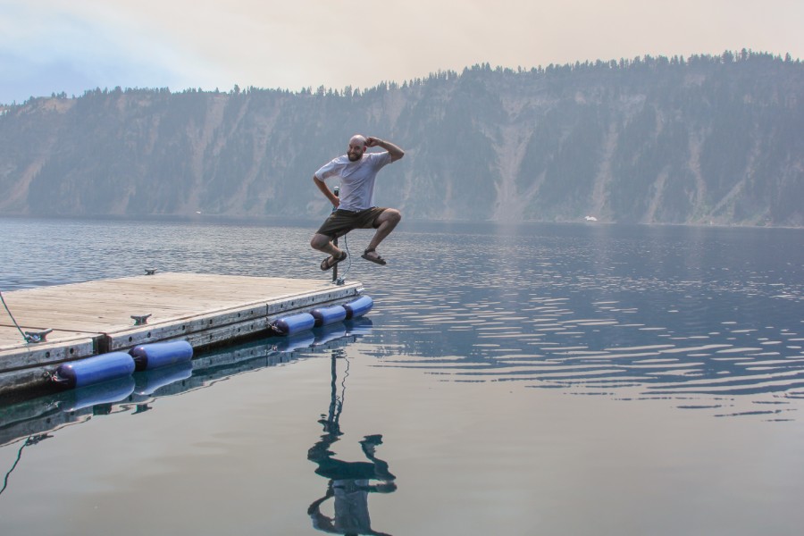
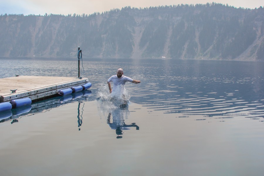
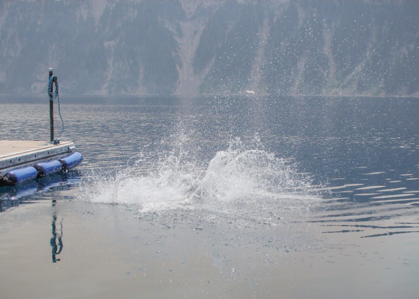
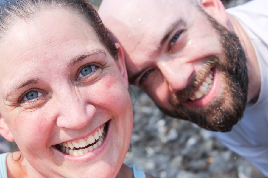
After eating, we managed to get the hammock hung and a tarp put up for shade near the water. The kids mainly played along the shoreline and in the shallow crystal clear water but again, it was really difficult for them to get around. Katie and I both braved jumping into the lake from the dock – it was take-your-breath-away cold but felt great on a hot day. Others joined us as they returned from their hike. Unfortunately the sole of one of my Teva sandles came half unglued – that’ll be annoying for the rest of the trip. Is it the cold water? Old Tevas?? Katie had the exact same thing happen in Glacier NP.


We tried our hand at fishing but it was not much of a serious attempt. We were right next to the dock which we had just jumped from and the water at the shore was shallow and clear with not a fish in sight. But we had brought the gear and it was on the kids’ minds so we took turns making a few casts. As you might deduce, the fish in the lake are not native so the Park Service actually encourages fishing and doesn’t require a license. It goes without saying what we did or did not catch.


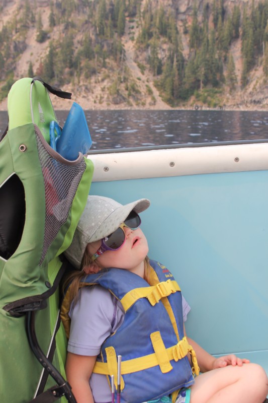
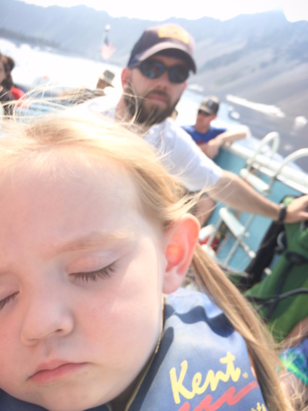
We were picked up promptly after three hours on the island. You know we played hard when three of the four kids fell asleep on the boat ride back!
Back at Cleetwood Cove, we steeled ourselves for the hot, dusty hike back up the rim. We refilled our Camelbak and bottles with the yummy lake water (no need to filter it’s so clean) and were about to buy a Powerade to share but I didn’t bring any money. One of the rangers was super generous, though, and just gave us one! We did our best to refuse but were very thankful – the hike was relentless and took just over an hour. Everyone rocked it without complaining – very proud.

Crater Lake from the Rim
Well, today we have the morning to explore Crater Lake some more and then we move on to California – quick stay! We were having our ol’ standby camping breakfast, bagels with cream cheese warmed over the fire, when our neighbor informed us that there was a burn ban on so we finished up as quickly as we could.
It’s always fun to see how the kids amuse themselves in camp – today it was Annie hearing her voice echo in the food locker and taking turns running under the tent footprint as the rest of us made it billow like those parachutes in PE class. This has become standard operating procedure for breaking down camp since our first camping trip of the year in the San Juan Islands : )


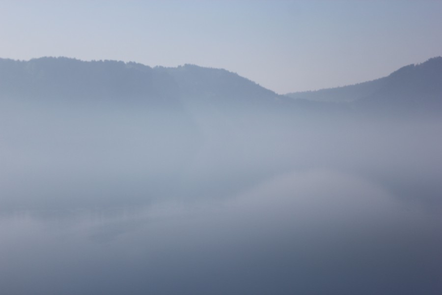
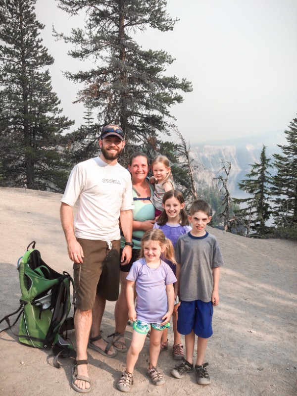
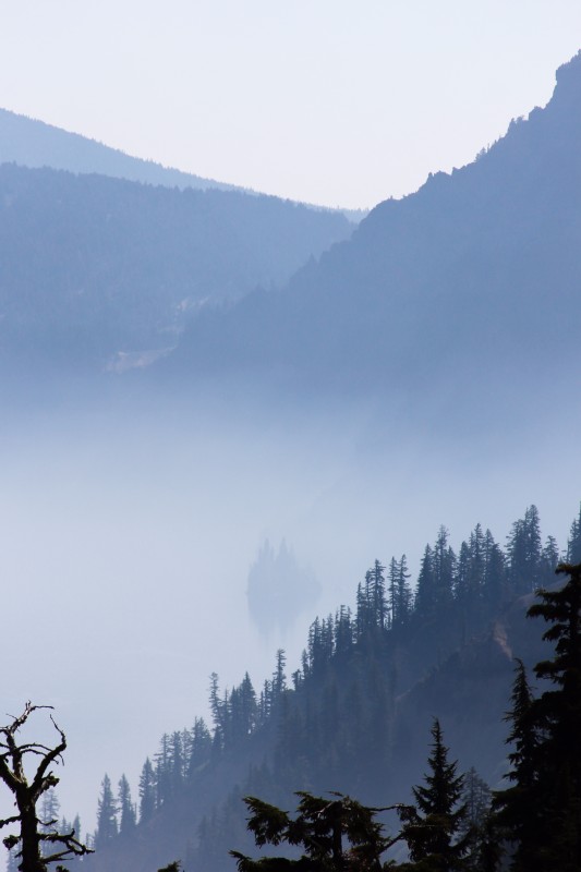
We made a few stops for views from the rim – Rim Village Visitor Center and Phantom Ship Overlook. It was definitely smoky again today but the views were still beautiful. We didn’t spend much time at either, though, as we wanted to squeeze in the Pinnacles Trail hike before hitting the road in earnest.


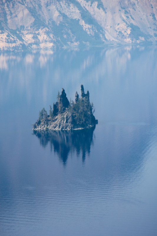
Phantom Ship from Rim Village:
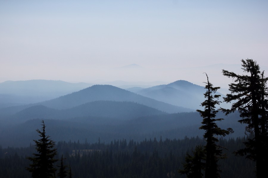
On the drive from Rim Village to Phantom Ship Overlook, looks like the Great Smoky Mountains!
View from Phantom Ship Overlook:
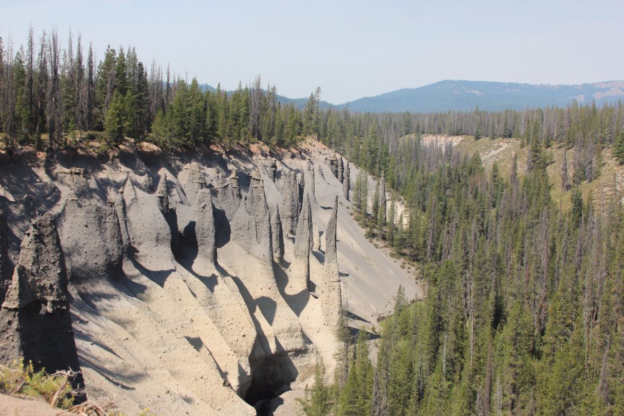
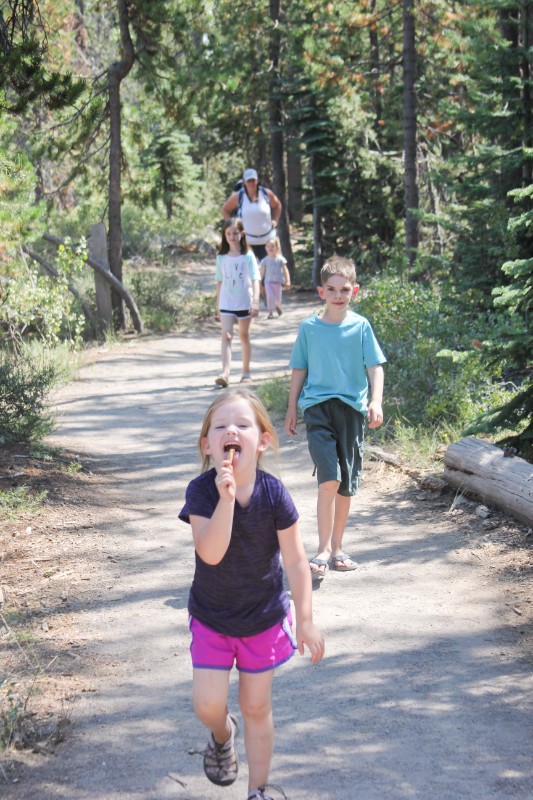
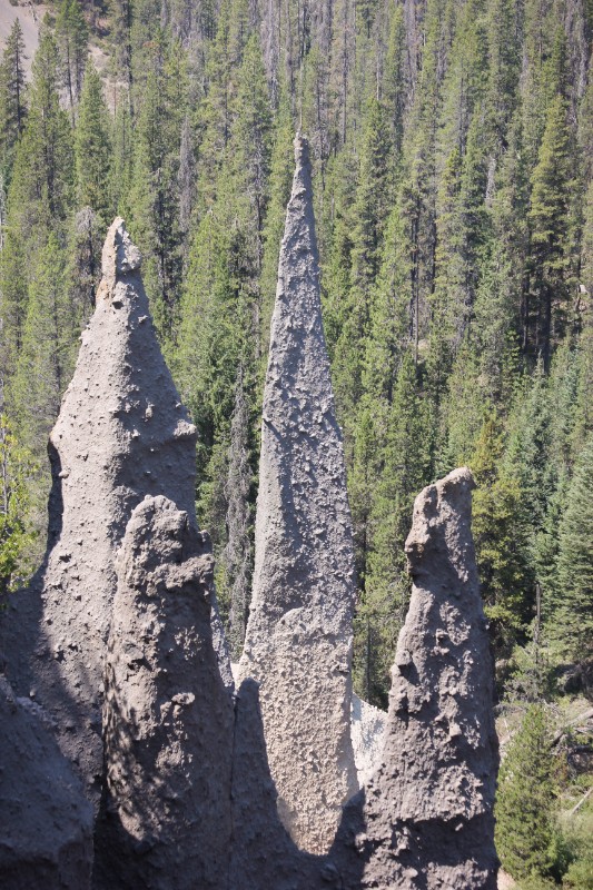
Pinnacles Trail
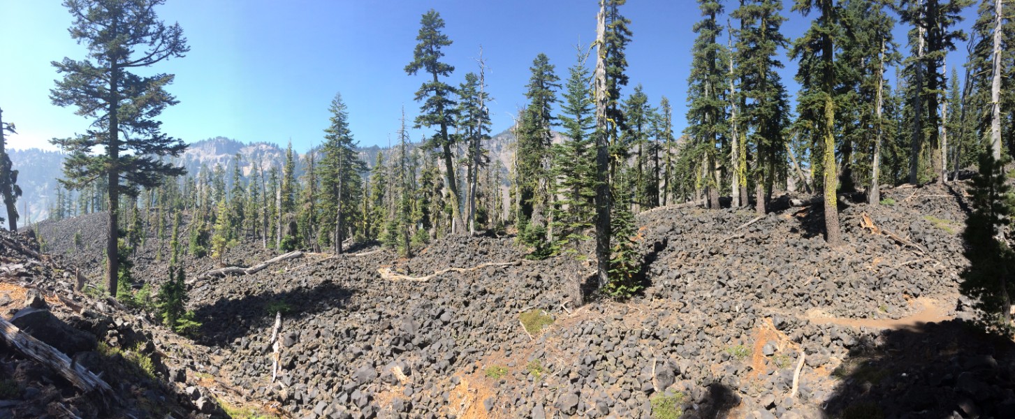
The pinnacles are in the southeast corner of the park at the end of the aptly named Pinnacles Road. They are comprised of ash that cooled in the vents of Mount Mazama and then the surrounding earth eroded away, leaving the pillars behind.


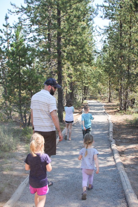
The hike is nice – the volcanic formations are impressive and the trail is partially shaded, flat, and short (about 1.2 miles roundtrip if you turn around at the park boundary, although the trail continues outside the park). It wasn’t busy either, presumably because it’s a bit out of the way from the lake rim.
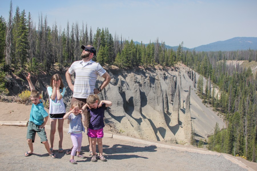
Keep in mind, the trail follows the edge of a cliff so keep an eye on those kids! The trail is very distinct and usually set back from the edge a bit, though, so that helped establish some boundaries and keep them from wandering.
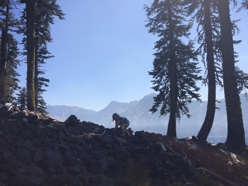
Rock pile at the park boundary made for a fun snack spot and turn-around point:
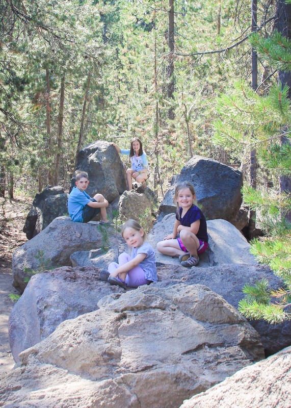

This stop was right over lunchtime but we opted for snacks and kept our stay to under an hour.


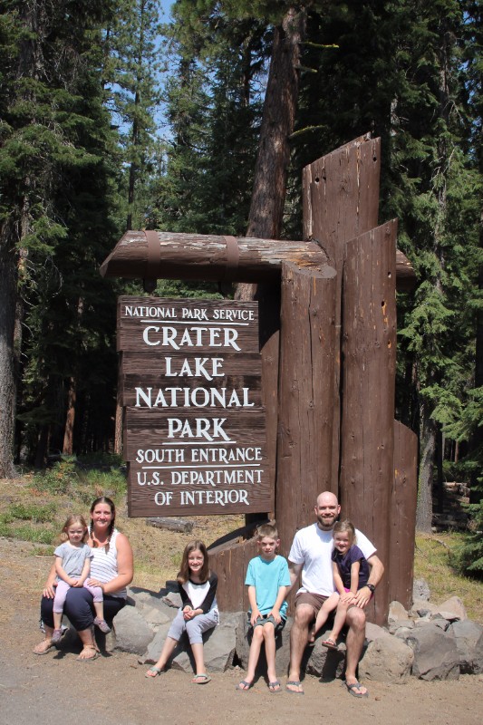
Feeling a little rushed, we bypassed one of the stops we had hoped to make, Annie Falls. We left the park via the south entrance (getting a nice picture at the sign – can’t bypass that!) and made our way to Lassen Volcanic NP.
If we had more time . . .
- Drive Rim Dr. all the way around the lake
- Hike Watchman Peak Trail up to the fire lookout for panoramic views (moderate difficulty, 1.6 miles roundtrip)
- Stop at Annie Falls and get Annie’s picture!